Drones, GIS and Maps offered for Fall at Casper College

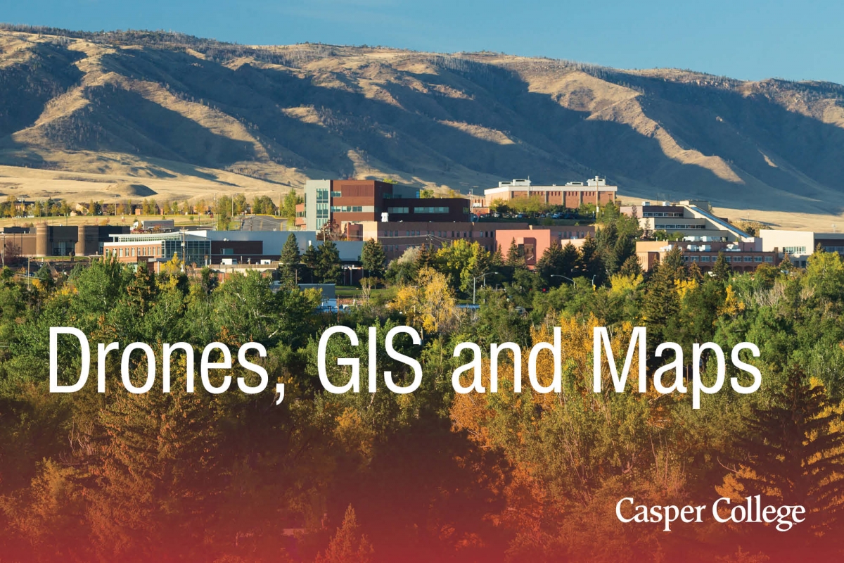
Casper College image.
The Geographic Information Systems Department at Casper College is offering three classes for the fall 2019 semester at Casper College.
Two of the offerings are taught online and include “Introduction to GIS” GEOG 1100, and “Map Use and Analysis” GEOG 2150. Participants in the first class will learn the basics of using GIS to analyze spatial data, including GPS data, remote sensed imagery, drone data, and how to take the data and build a meaningful map. Students will also learn how Trimble and Garmin GPS units work and learn to capture GIS data using drones. “This class is for anyone involved with wildlife, agriculture, civil engineering, surveying, the oil and gas industry, and anyone interested in maps and spatial data in general,” said Jeff Sun, instructor.
The second online class will look at the history of maps and mapmaking and how to effectively read and use a map. “This is a great class for those interested in learning more about maps, how they are used today, a brief introduction into today’s GIS technology, remote sensing, and drones,” Sun noted.
The final class will not only provide students with a history of remote sensed data and how to collect remote sensed data but how to fly a drone and use it to collect GIS data. Students will also learn the basics to obtain their FAA drone license. According to Sun, the course is for anyone interested in drone technology and perhaps obtaining their FAA drone license.
For more information or to register, contact Sun at 307-268-3560 or jsun@caspercollege.edu. The fall semester begins at Casper College Monday, Aug. 19.
